GNSS Hardware Selection for Fleet Tablets — Dual-Band, RTK & Antenna Options
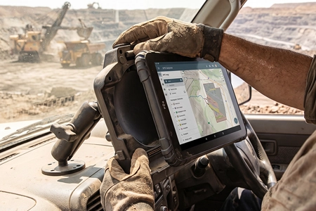
A precision agriculture deployment in Brazil requires 2.5-centimetre pass-to-pass accuracy for auto-steering. A mining fleet in Chile needs position fix inside an open-pit where the walls block half the sky. A European logistics fleet needs reliable tracking across urban canyons and motorway corridors. Three different accuracy requirements, three different hardware configurations — and the GNSS receiver architecture determines which of them the device can actually deliver.
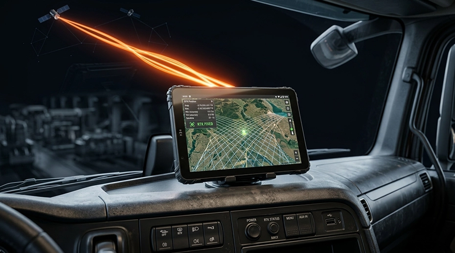
Table of Contents
1. Three Accuracy Levels, Three Hardware Profiles
GNSS accuracy is not a single specification. It is a range that depends on the receiver architecture, the correction service, and the antenna configuration. Three distinct accuracy tiers apply to different fleet deployments:
The hardware selection process starts by identifying which tier the deployment requires. A fleet running route navigation and delivery tracking rarely needs RTK capability. A precision agriculture operation cannot function without it. Specifying more accuracy than the application requires adds cost without operational benefit. Specifying less accuracy than required causes the system to fail in the field.
2. Dual-Band L1+L5 and Multipath Rejection
GPS and the other GNSS constellations broadcast on multiple frequencies. GPS uses L1 at 1575.42 MHz and L5 at 1176.45 MHz. Consumer receivers process only L1. Industrial-grade receivers process both.
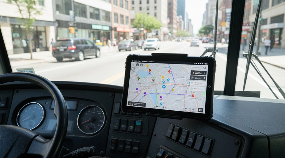
The difference matters in environments where satellite signals reflect. In an urban canyon formed by two rows of buildings, the receiver sees the direct signal from each satellite plus at least one reflection off a building surface. Both arrive at the antenna. An L1-only receiver cannot determine which signal is the true one and averages them, producing position drift of 20 to 50 metres. The vehicle appears on the tracking dashboard in a location it has never visited — often on the wrong side of a street or the wrong intersection entirely.
The L5 signal arrives at the receiver with a different phase relationship than L1. When both direct and reflected versions of a satellite signal reach a dual-band receiver, the phase difference on L5 differs from the phase difference on L1 — because the reflection path length is proportional to frequency. The receiver uses this difference to identify the reflected component and discard it before computing position. The result is metre-level accuracy in environments where single-band receivers drift by tens of metres.
For fleet deployments operating in urban environments — last-mile delivery, municipal services, ride-hail and taxi fleets — dual-band capability is not an upgrade. It is the difference between tracking data that reflects the vehicle's actual location and data that does not. The fleet GPS tracking hardware guide covers the failure modes that result from inadequate receiver architecture. For system integrators evaluating the full GNSS architecture — receiver, display readability, and docking interface — the navigation tablet hardware architecture guide covers the three layers together.

3. Multi-Constellation Reception: GPS, GLONASS, Galileo, BeiDou
Four global navigation satellite systems are operational. GPS (United States) and GLONASS (Russia) have been available for decades. Galileo (European Union) reached full operational capability in 2020. BeiDou (China) completed its global constellation in 2020. Together they operate over 100 satellites. Any single constellation operates roughly 30.
A receiver tracking only GPS may see 8 to 12 satellites above the horizon at a given location and time. This is generally sufficient for a position fix in open-sky conditions. But in environments where part of the sky is blocked — tree-lined waterways, deep mining pits, narrow streets between tall buildings — the number of visible GPS satellites can drop below the minimum for a reliable fix. The receiver loses position, or produces a lower-quality fix that shows increasing position error.
A multi-constellation receiver tracking all four systems has access to over 100 satellites. In the same partially blocked environment, it may still see 20 to 30 satellites across the four constellations. The position fix remains continuous. For mining equipment operating inside open pits and agricultural machinery in tree-lined fields, the difference between GPS-only and multi-constellation reception is the difference between intermittent tracking and continuous tracking.
4. External Antennas and USB GPS Receivers
A well-designed receiver is useless if the antenna cannot receive satellite signals. The GNSS signal at 1.5 GHz attenuates significantly through conductive materials. A metal-bodied van, a truck cab with metallic window tinting, an enclosed mining machine cab — each acts as a partial Faraday cage. A device relying on its internal antenna sees little or no signal.
Two external antenna approaches solve this problem, and they are architecturally different.
External Antenna Port (MMCX / SMA)
The GNSS receiver stays inside the tablet. A coaxial cable connects an external antenna — mounted on the vehicle roof, dashboard, or cabin exterior — to the receiver through a threaded connector. The internal receiver processes the signal as if it came from an internal antenna, but the signal path now starts outside the vehicle enclosure.
Suitable for: new vehicle installations where the coax cable can be routed during build or upfit. Mining equipment, agricultural machinery, marine vessels with metal hulls.
USB GPS Receiver (USB-A)
The entire GNSS receiver module moves outside the enclosure. The device receives position data over a USB-A connection rather than processing raw satellite signals. The receiver module can be mounted on the dashboard, roof, or any location with sky visibility — wherever the vehicle build allows.
Suitable for: retrofit deployments where the vehicle was not designed for coax cable routing. Fleets with mixed vehicle types that do not standardize on a single mounting architecture. Deployments where the tablet is installed in a sealed or restricted location.
The vehicle tablet platform with external GNSS options supports both approaches. The MMCX or SMA port is specified at the model level — it is either present on the device or not. The USB GPS receiver is an accessory that connects through the standard USB-A port, which is available on most models in the lineup. This distinction matters for procurement: the MMCX port must be confirmed before ordering, while the USB receiver can be added to existing deployments.
External GPS Antenna Installation
Demonstration of the external GNSS antenna connection on the MDT865. The antenna routes the satellite signal from a roof-mounted position to the receiver inside the cab — the configuration required for metal-bodied vehicles and machine cabins where the internal antenna cannot reach the sky.
5. RTK and Correction Services
RTK — Real-Time Kinematic — achieves centimetre-level accuracy by processing correction data from a nearby reference station. The reference station occupies a known position. It receives the same satellite signals as the moving receiver, computes the difference between its known position and its computed position, and transmits that difference as a correction message. The moving receiver applies the correction to its own position calculation, cancelling the atmospheric and clock errors that limit standalone GNSS accuracy to 1–3 metres.
The correction data arrives in RTCM format — a standard published by the Radio Technical Commission for Maritime Services. The RTCM messages can be delivered through several channels: a dedicated radio link from a local base station, a cellular data connection from a network RTK service, or a satellite-based correction service. The receiver must support RTCM input processing to use any of these.
For hardware selection, RTK requires three things: a GNSS receiver capable of processing RTCM corrections, a data path for the correction messages to reach the receiver, and a correction service subscription. The tablet hardware provides the first. The integrator or fleet operator arranges the second and third.
RTK is specified for applications where metre-level accuracy is insufficient. Auto-steering in precision agriculture requires pass-to-pass accuracy under 5 centimetres. Machine control on excavators and graders requires similar accuracy for grade control. OEM tablet configuration with RTK support is available for integrators building these applications.
6. Application-Specific GNSS Requirements
The optimal GNSS configuration depends on the operating environment and accuracy requirement. Three application profiles illustrate the range:
Agriculture
Tree-lined field boundaries block part of the sky. Auto-steering requires RTK-level accuracy. The vehicle operates in wide temperature ranges from -20°C to 60°C.
Requirement: Dual-band L1+L5, RTK-capable receiver, external antenna, MIL-STD-810G/H vibration tolerance.
Mining
Open pits block half the sky. Tracked and wheeled equipment operates in continuous vibration. Metal cabs attenuate internal antennas.
Requirement: Multi-constellation reception, external MMCX antenna for the metal cab, all-metal dock latch for vibration resistance.
Urban Delivery
Tall buildings create multipath. Vans have partially metallic bodies. Tracking requires accurate position for customer ETA and route compliance.
Requirement: Dual-band L1+L5 for multipath rejection, 4G/5G for real-time reporting, IP67 for rain.
7. Integration with Fleet Platforms
GNSS position is one data stream in a fleet computing platform. The device also processes vehicle data from the CAN Bus, communicates over cellular, and runs the fleet management applications. Integrating GNSS with these other functions determines the overall system capability.
A vehicle computing platform with integrated CAN Bus reads engine data, fuel level, odometer, and DTCs directly from the vehicle network, correlates them with GNSS position, and transmits the combined data set to the fleet backend. This correlation is what enables predictive maintenance, driver behavior scoring, and route optimization. A device without CAN Bus integration requires an external gateway module to access vehicle data, which adds a component and a potential failure point.
For cross-border fleets where vehicles pass through multiple carrier coverage areas, GNSS integration with eSIM capability maintains position reporting without physical SIM changes. The eSIM analysis for fleet telematics covers the cross-border connectivity architecture. Fleet-scale device management, including firmware updates and configuration changes, is handled through the TOPICON MDM platform — hosted on TOPICON infrastructure with no on-premises server required.
Single Point of Failure
An antenna cable that loosens under vibration is a single point of failure that no diagnostic tool reports as a failure. The GNSS receiver logs "no signal" — the same message it would log if the vehicle were inside a tunnel or under heavy canopy. The system interprets the loss as a temporary environmental condition. The vehicle continues operating. The tracking dashboard shows stale data without flagging it. By the time the pattern is recognised, the antenna connector has been degraded for months and the fleet has been operating with intermittent position coverage that no one identified. Thread-locked connectors, proper strain relief, and periodic signal-quality diagnostics are the preventive measures that eliminate this failure mode.
8. Frequently Asked Questions
What is the difference between L1 and L1+L5 dual-band GNSS?
L1-only receivers cannot distinguish direct satellite signals from reflections off buildings and terrain, producing position errors of 20–50 metres in urban canyons. L5 operates at a different frequency with different multipath characteristics. A dual-band receiver correlates both signals to identify and discard the reflected component, delivering metre-level accuracy. The GPS tracking hardware guide covers this in more detail.
When is an external GNSS antenna required?
Any deployment where the tablet is inside a metal enclosure. Metal-bodied vehicles, metallic window tinting, and enclosed machine cabins attenuate satellite signals at 1.5 GHz before they reach an internal antenna. An external MMCX or SMA antenna mounted outside the enclosure restores signal reception. The vehicle mount tablet platform supports external antenna configurations across multiple models.
What is the difference between an MMCX antenna port and a USB GPS receiver?
An MMCX or SMA antenna port keeps the GNSS receiver inside the tablet and extends only the antenna through a coaxial cable. A USB GPS receiver moves the entire receiver module outside the enclosure and connects through USB-A. The antenna port approach is standard for new installations. The USB approach is useful for retrofit scenarios where routing a coax cable is impractical, or where the tablet must be installed in a sealed location.
Does RTK require special hardware in the tablet?
RTK requires a GNSS receiver capable of processing correction data from a base station or network service. The receiver must support the RTCM correction message format and expose the correction input to the positioning engine. Consumer GNSS chips typically do not support RTK. Industrial receivers with dual-band L1+L5 capability and RTCM input support are required. OEM configuration with RTK support is available for integrators building precision applications.
Why does multi-constellation reception matter for fleet deployment?
A receiver tracking only GPS has access to roughly 30 satellites. A receiver tracking GPS, GLONASS, Galileo, and BeiDou has access to over 100. In environments where one constellation is partially blocked — tree-lined waterways, deep mining pits, narrow urban streets — the receiver maintains fix using the remaining constellations. This is particularly important for mining equipment operating inside open pits and agricultural machinery in tree-lined fields.
Specifying GNSS Hardware for a Fleet Deployment?
The receiver architecture, antenna configuration, and correction service determine whether the positioning accuracy matches the deployment requirement. Request hardware specifications or discuss the specific accuracy tier your application requires.
Related GNSS & Positioning Resources